To take part in the celebration, not in actual celebration, I pedaled all the way to Bataan province.
This is the route I'd taken:
Novaliches via:
- Urduja Subdivision
- Congressional Road
- Meycauayan City
- Manila North Road
- McArthur Highway
- Olongapo Gapan Road
- Bataan National Road
- Caloocan City North
- Meycauayan City
- Marilao
- Bocaue
- Balagtas
- Guiguinto
- Malolos
- Calumpit
- Apalit
- Minalin
- Sto. Tomas
- San Fernando
- Bacolor
- Guagua
- Lubao
- Hermosa
- Orani
- Samal
- Abucay
I went home by riding a bus. From the bus stop at EDSA Quezon Avenue, I again pedaled all the way to Novaliches. I arrived home at about 9:30 pm.
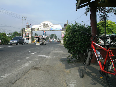 Malolos boundary arch
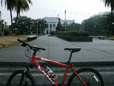 Bulacan Provincial Capitol
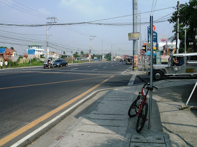 McArthur Highway, Malolos
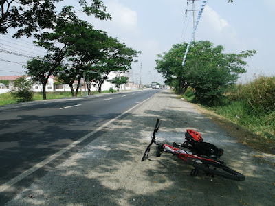 McArthur Highway, Minalin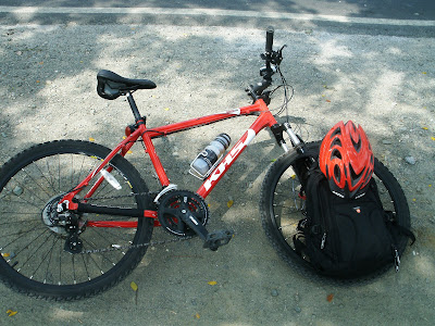
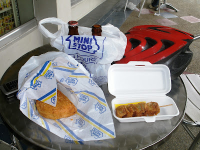 My lunch of sisig kariman and shrimp siomai in a convenience store in Guagua
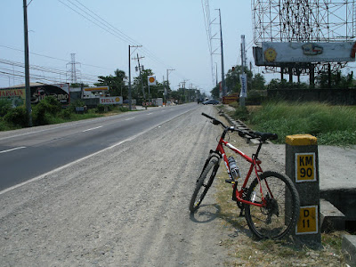 Gapan-Olongapo Road, Lubao
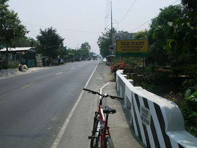 Finally, I reached the first town of Bataan - Hermosa
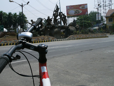 Layac, Dinalupihan
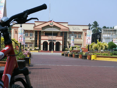 Orani Municipal Hall
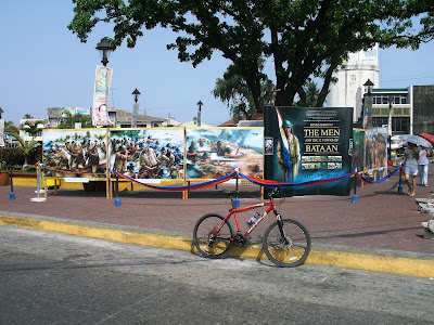 Memorial at Orani Park
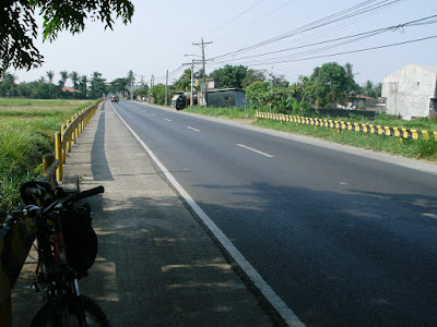 National Road, Balanga
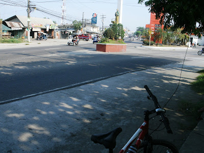 Balanga junction (end of the line)
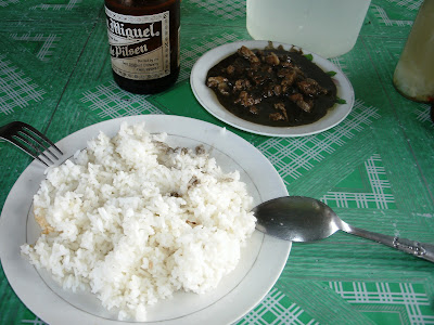 My merienda of dinuguan before going home
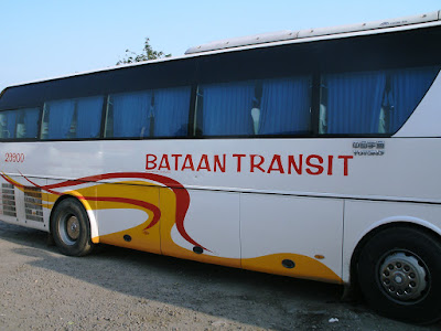 By bus in going home
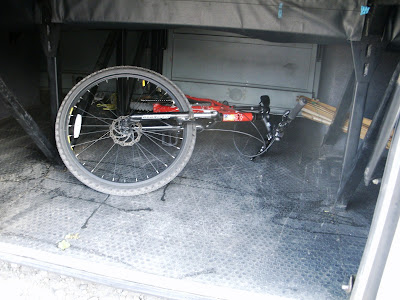 AlitePot in the bus compartment
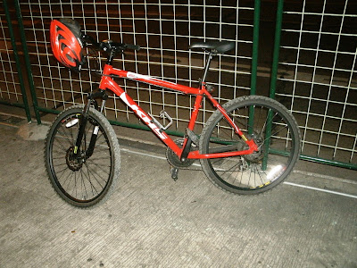 From the bus stop at EDSA - Quezon Ave., I pedaled all the way home


